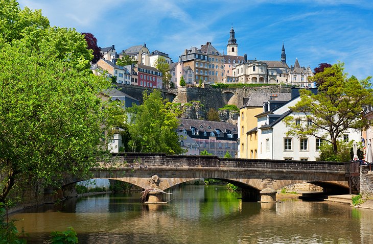
Maloti Drakensberg Route
Visas: Visitors from some countries may not need visas for South Africa or Lesotho, however please check this with your travel agent.
Road networks: Roads on the Maloti Drakensberg Route are generally good, but it is essential to check the condition of roads in the more rural areas of Lesotho as these roads may only be suited to 4x4s. Leaded fuel and diesel are available throughout the route; unleaded fuel is available in most towns in South Africa but only in Maseru in Lesotho. Speed in Lesotho is limited to 50kmph on general roads and 80km/ph on freeways, whereas South African speed limits are 60km/h in towns and 120km/h on national freeways.
Banks and credit cards: Banking facilities are available in most towns in South Africa, while in Lesotho, banks are mostly found in Maseru and major centres. During the week, banks are usually open until 15:30 in both countries but do close early on a Wednesday in Lesotho (13:00). On Saturdays, they are only open until 11:00 and not at all on a Sunday. Credit cards are accepted in most towns in South Africa, but only in Maseru and at major hotels in Lesotho.
Communication: Modern telephone services link all South African towns on the route with the rest of the country and the world. The international dialling code is +27. Telephone services are available in all main towns in Lesotho and mobile phone reception is excellent in the lowlands. The international code for Lesotho is +266. Dialling out from both countries requires 09 before the international country code.
Border Times: While the main border post at Maseru Bridge is open 24 hours a day, it is advisable to check the border times of smaller posts with any of the local tourism bureaus. Maseru Bridge is open 24 hours a day.
A country within a country - the history of Lesotho:
During the early 19th Century, the King of the Zulu people, Shaka, was at the height of his power and reigned over the area now known as KwaZulu-Natal, in South Africa. Many of his subjugated chiefs took flight in an attempt to form their own domains. This resulted in a period of terror in southern Africa and the scattering of the Sesotho-speaking tribes of the highveld.
The Maluti Mountains formed a natural defence against invaders and many small tribal groups took refuge in the region. One such group lead by an enterprising chief, Moshesh, selected a small steep-sided plateau at Buthe-Buthe, which they successfully defended for two years before moving to a better fortress at Thaba Bosiu ('mountain of the night'). For 10 years, Thaba Bosiu proved to be impenetrable and the name rapidly gained fame. Fugitives from the tribal wars flocked to the area and were incorporated into the tribe.
By 1830, the tribe had become a large cohesive unit - newly proud people who had recently been hiding in the surrounding hills and valleys to escape slaughter and famine. They began calling themselves Basotho or Sotho people and to refer to their small kingdom as Lesotho. Moshesh, now known as Moshoeshoe, grew in stature and his military skills and diplomacy ensured that his Kingdom remained unconquered until shortly before his death in 1870.
In 1852, the British gave independence to the Boers (Afrikaans people) who then established their Republic as the Orange Free State. As some of the land given to the Boers was originally occupied by Basotho people, there was bound to be conflict. The Free State Commando was determined to destroy the Basotho people. Thaba Bosiu withstood most of the attacks. In 1868, however, the British were called to rescue the situation after a successful Boer invasion. The British protectorate of Basutoland was declared soon afterwards.
Multi-party politics took over in the 1950's and independence for Lesotho was eventually granted in 1966. Conflicts and coups d'etat followed. A coup in 1986 overthrew Chief Jonathan and reinstated the authority of Moshoeshoe II (the great-great-great grandson of Lesotho’s founding father). Since then the government has remained stable and successful, and development is ongoing. In 1996 his son, King Letsie III, succeeded King Moshoeshoe.
Interesting cultural snippets:
The Maloti Drakensberg Route covers an area rich in culture with four separate, yet intertwined, cultures predominant in the area. The Basotho culture is dominant in Lesotho, but many Basotho people live in South Africa as well. Similarly, Xhosa culture is particularly dominant in the Eastern Cape and Western Cape provinces of South Africa, but Xhosa people can be found all over the country. English and Afrikaans cultures live alongside both Xhosa and Basotho. All across the Maloti Drakensberg Route, a strange mixture of languages is spoken with many words interchangeable between the four languages. What follows is a brief mention of some of the most noticeable features in the four cultures:
The Eastern Cape:
The Eastern Cape is the second-largest of South Africa’s provinces and is the cradle of South Africa's leadership, being the birthplace of Madiba (Nelson Mandela) and the traditional home of most of the national politicians. Much of the province is undeveloped, which, for the tourist, means that it is unspoilt and somewhat unique.
The Eastern Cape is malaria free and has some of the famous southern African reserves such as the Addo Elephant Park and the private Shamwari Game Reserve. The variety of plant and animal life in the Eastern Cape is one of the most diverse found anywhere in the world. The streams arising from the mountains and flowing to both the Indian and Atlantic oceans are home to Brown and Rainbow Trout, while the rare Lammergeier Vulture soars aloft.
The heritage of the Eastern Cape extends back to the birth of modern man and beyond. Ancient rock art sites, fossils and dinosaur footprints can be found in the province. The towns and villages are intimate while the country folk are warm and welcoming.
English:
Although English-speaking South African and Lesotho people were originally descendent from British colonials, so much time has passed and so much cultural integration has occurred that these people are fiercely patriotic and definitely call themselves African. The English ‘Africans’ are unique in that they follow western culture and yet retain the essence of being African - appreciating the slow life, the open spaces, the diversity of cultures and the beauty that is Africa.
Afrikaans:
Afrikaans people are descendants of the original Dutch settlers who came to South Africa in the 1600's. Today, the Afrikaans culture is still strong, with many unique and interesting characteristics. Afrikaans food is particularly interesting with so-called boerekos (farmers’ food) being sweetened vegetables, meat - usually braaied (barbecued), potatoes and breads.
Basotho:
The Basotho blanket is probably the most noticeable icon of the Basotho people. The traditional usage of animal skin coverings has been transferred to the blanket, which is carried in all weather. The Basotho blanket’s beginnings can be traced back to European and missionary influence and the pressure to 'dress decently'. Gifts and increased trading opportunities with the British have ensured that the blanket became an increasingly popular form of 'covering up' and different patterns and designs emerged. The blanket as a form of dress was not always accepted with favour, however. Even during the British royal visit in 1947, wearers of blankets did not feature strongly in photographs. In the late 1980s, the popularity of the blanket took an upward swing. Today, many Basotho will not be seen without their blanket, and indeed have different blankets for different occasions. The blankets are made almost purely of wool to ensure an even body temperature even during the heat of the summer.
Xhosa:
Some of the most remarkable crafts made by Xhosa people are beaded. Beaded bags, beaded adornments for headdresses and beaded jewellery are some of the items made. Unique colours and patterns are used, many depicting Xhosa huts or other traditional items. Xhosa dancing and singing are also a strong part of the culture.
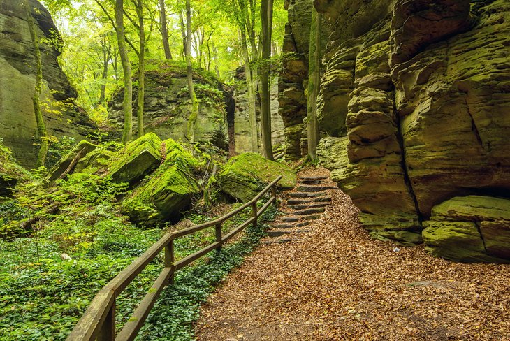
Rock art of the Maloti Drakensberg Route:
The greatest concentration of rock paintings in the world occurs in southern Africa. Some sites date back 27 000 years. The art is sophisticated both in detail and depth of meaning, with animal images being a major symbolic element. It is found mainly in caves and on rock overhangs.
Rock art is not simply a record of what the artist saw in their environment but an example of how art can be used for religious purposes. The San artists selected culturally significant themes to record experiences and provide inspiration, and their art is therefore a record of their beliefs.
The red, yellow and maroon paint used in most rock art is made from finely ground ochre, a soft rock coloured by iron oxides. The powder was mixed with water or blood and possibly vegetable juices. The paint has lasted such a long time because the small ochre particles have bonded with the rock surface. Black paint was made from charcoal or manganese oxide and white paint from clay. Neither of these paints bonded well with the rocks and so today gaps can be seen where the white and black paint used to be.
The Maloti Drakensberg Route area is dotted with numerous rock art sites. These sites are indicated on the printable route map (accessible from route homepage). Some of these sites are not easily accessible and it is advisable to request a guide or to determine their exact location before attempting to find them. Please enquire at the regional tourism information centre for more details about the sites and their locations.
Also remember that rock art is a finite and fragile resource protected by the National Heritage Resources Act and it is an offence to damage sites in any way. Rock art should not be touched or wet. Dust and smoke can also cause damage.
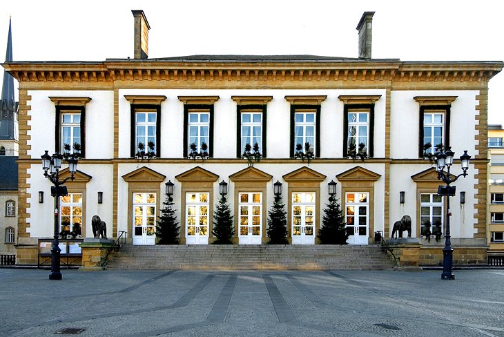
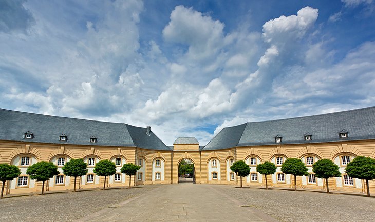
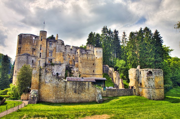
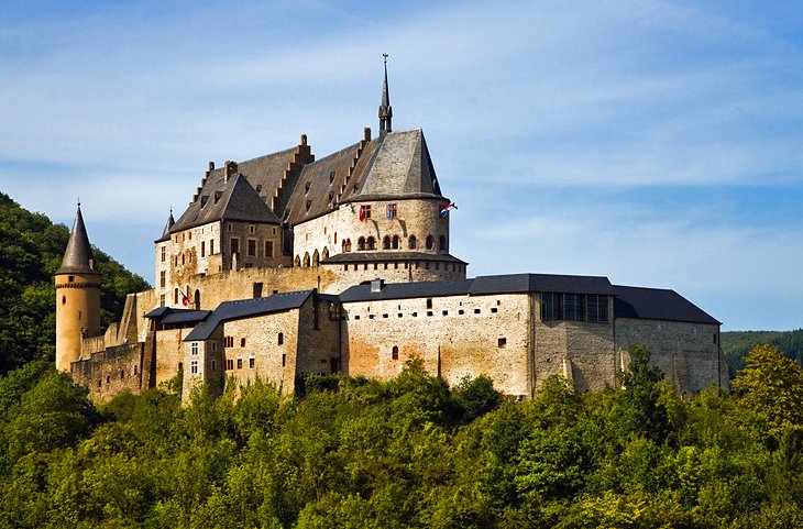
The Eastern Free State:
More about the Eastern Free State:
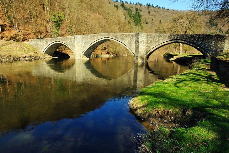
Majestic mountains form the backdrop to this exciting adventure tourism destination. A few of the enchanting sites that await you include sandstone cliffs that have weathered over the years to resemble interesting figures like ‘Queen Victoria seated on her throne’ at Fouriesburg and Mushroom Rock near Clarens. Fertile valleys of crops are interspersed with fields of sunflowers and pink and white cosmos. The Golden Gate National Park is home to a wide variety of game and prolific birdlife, including the rare Bearded Vulture.
Battle sites dating back to the Anglo Boer War, ox-wagon spoor carved in the sandstone at Zastron, ancient fossil footprints and Bushman paintings are a few of the glimpses the tourist can catch of a by-gone era. The Basotho Cultural Village with its arts and crafts offers a place where they can learn more about the music-loving people of the eastern Free State and share a moment of their lives.
The Sterkfontein Dam with its 103km shoreline is the ideal playground for water sports and fishing. Other adventures in the region include abseiling, hiking, birding, 4x4 trails, mountain and rock climbing, clay pigeon shooting, cycling, hot air ballooning and fly-fishing. The annual Cherry Festival at Ficksburg and the Mealie (‘corn’) festival at Reitz are two of the many special occasions that showcase Free State fun and hospitality.
"Tlo Bone – ‘come and see!"
Lesotho - The Mountain Kingdom:
More about Lesotho:
Lesotho is the ultimate secret tourism destination, a place to discover the wonderful mountain vistas and the culture of the Basotho people who inhabit the spectacular highlands. This is a land of contrasts with modern facilities and easy access in the main towns. But, if you venture further afield, you can find yourself in a pristine and rugged natural environment with perhaps a herdsman and his small herd the only beings in sight.
Outdoor activities abound and include basic mountain climbing, rudimentary skiing, hiking, fly-fishing, bird-watching, 4x4 trails and the famous pony trekking. Accommodation can be supplied in a Basotho village in traditional huts or in comfortable modern facilities. An essential purchase when visiting Lesotho is the Basotho hat, a woven hat in the shape of Mount Qiloane. The hat is worn by locals and often used as decoration in houses.
Flags for information:
When visitors pass through villages in Lesotho they will frequently see a flag flying from a tall pole. This usually indicates a place where something is being sold. A white flag means 'joala', a locally brewed sorghum beer. A Yellow flag means maize beer, red means meat and green means vegetables.
A tall flag, usually white, at each corner of a homestead announces the wedding or marriage of a daughter.
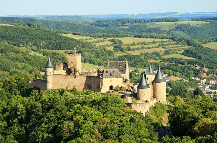
Thaba Bosiu – ('the mountain of the night') – is the stronghold of the Basotho nation. The historical town of Morija hosts the Morija Museum and Archives as well as the celebrated annual arts and crafts festival. Lesotho is also probably the only country in the world where people sit on the side of the road and chisel sandstone bricks from the many sandstone cliffs and outcrops to sell as building materials.
The largest ongoing engineering water project in the world – the Lesotho Highlands Water Project – has created a unique opportunity for tourism by working with local communities to develop magnificent nature reserves that have overnight trail huts and camping facilities surrounded by unique flora, fauna and rock art and overlooking spectacular views. The amazing spiral aloe (Aloe polyphylla), the national flower of Lesotho, can be seen in some of these reserves.
The weather in Lesotho varies considerably from season to season and can also change rapidly during a single day. Summer is the wet season, with localised thunder storms a common occurrence. Flash floods are a danger so avoid riverbeds as far as possible. In winter, the night temperatures can drop below zero even though the days are often sunny and warm. It is wise to be equipped for all temperatures at any time of the year as the altitude variations result in totally different conditions as you travel the mountain passes.
The simplicity of life and the crystal-clear mountain streams are part of the experience of the Kingdom of the Sky.
CULLED FROM: openafrica.org